TractEngine
Land data and mapping for appraisal reports: the boundary on imagery, then soils, flood, wetlands, crop history and terrain as report exhibits, with the source on every number.
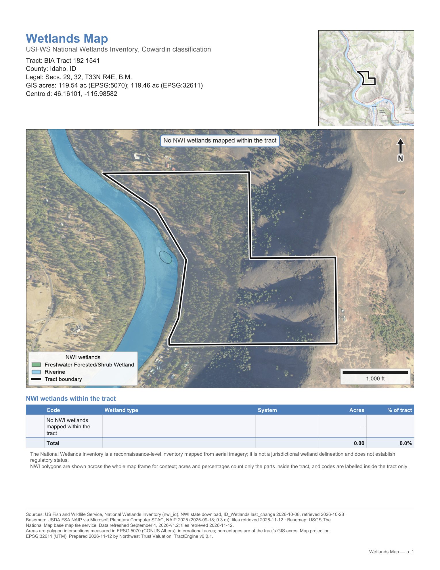
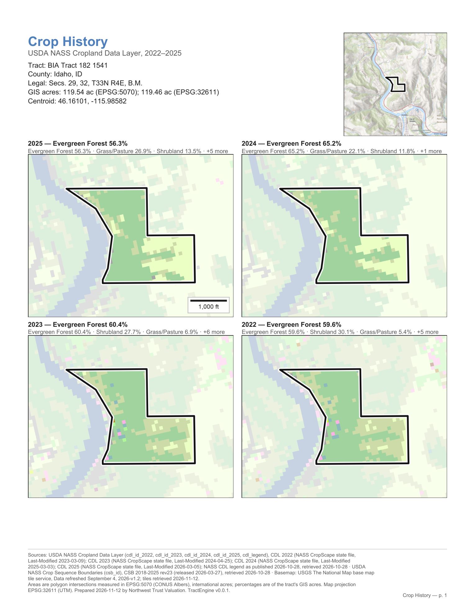
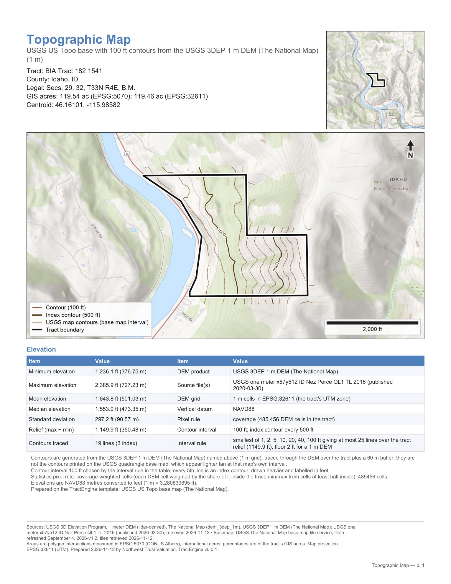
What it does
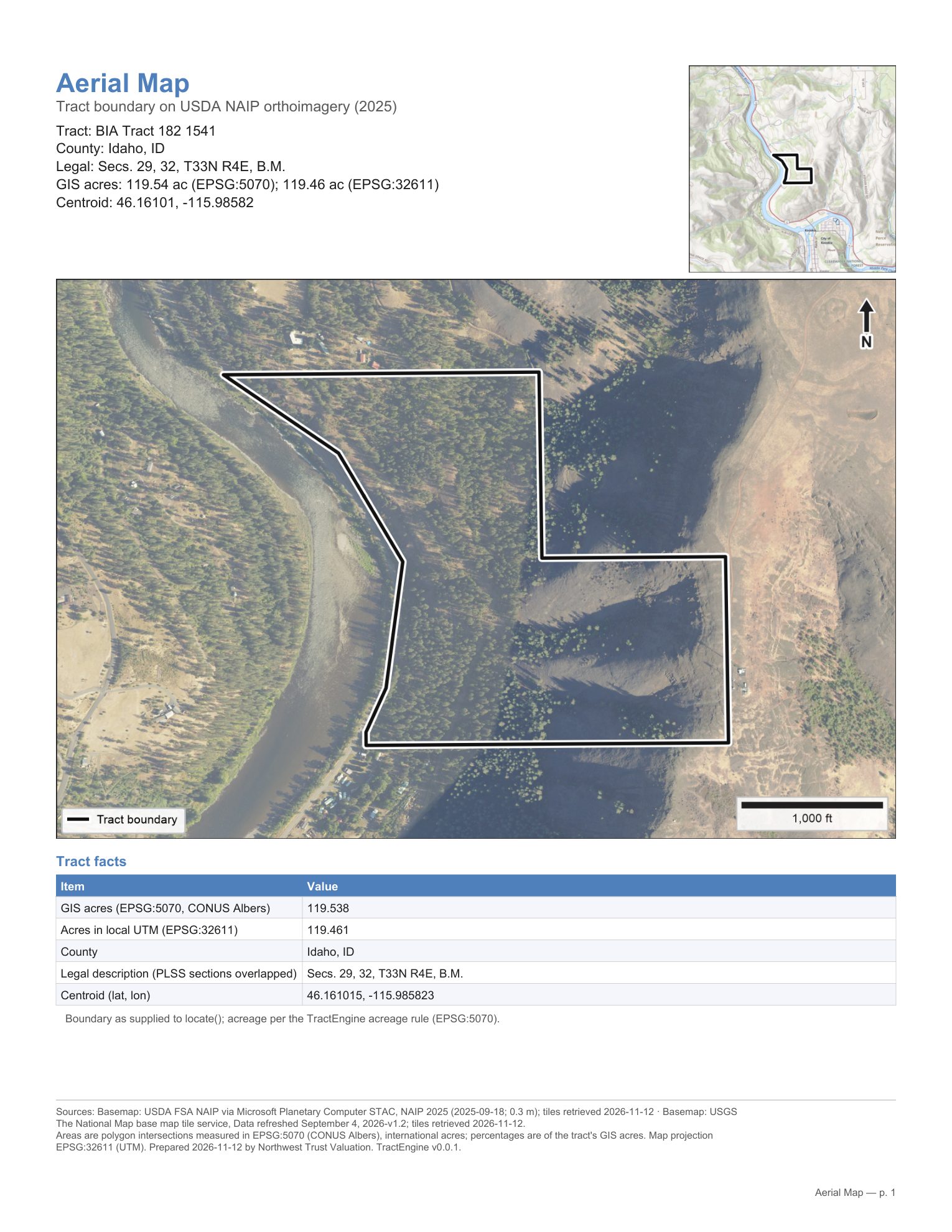
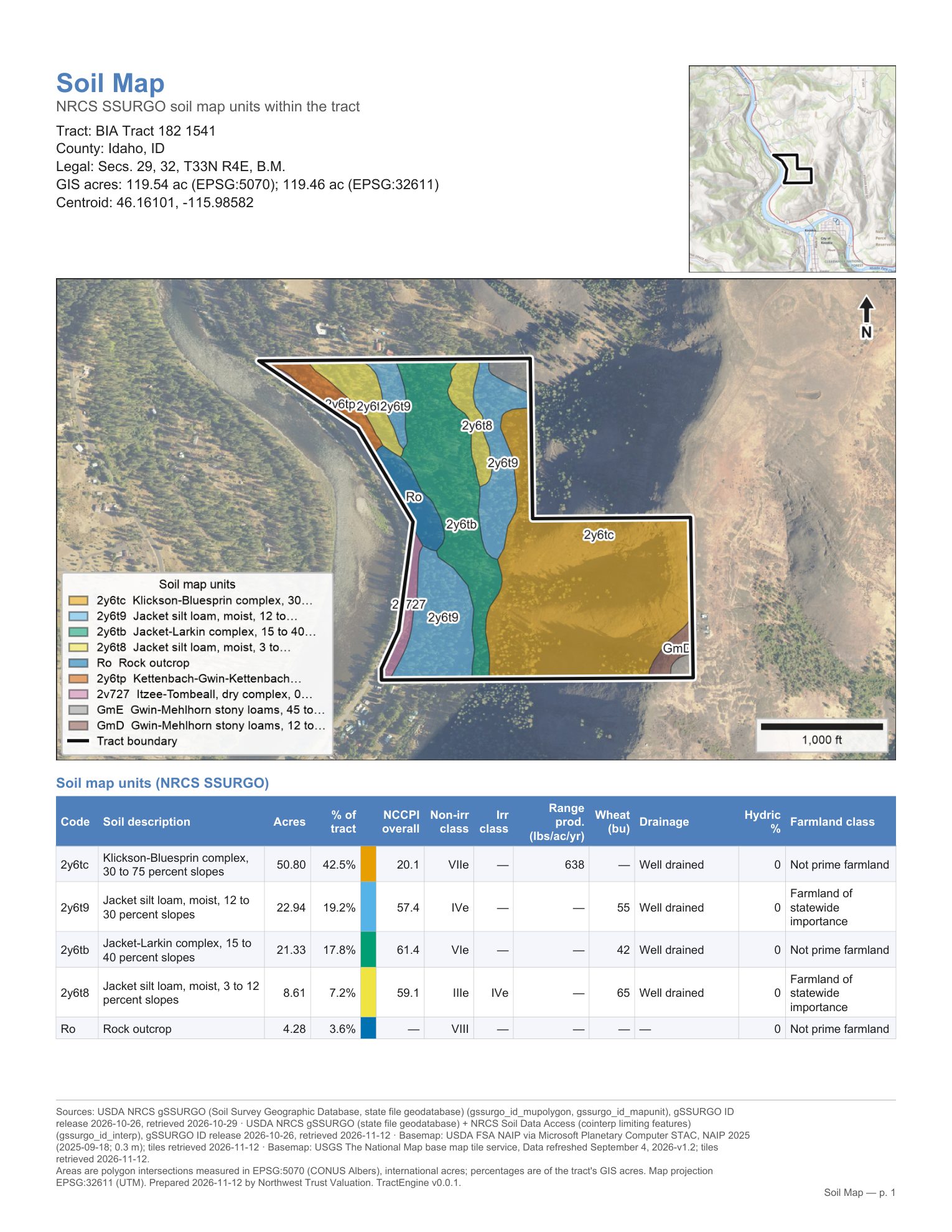
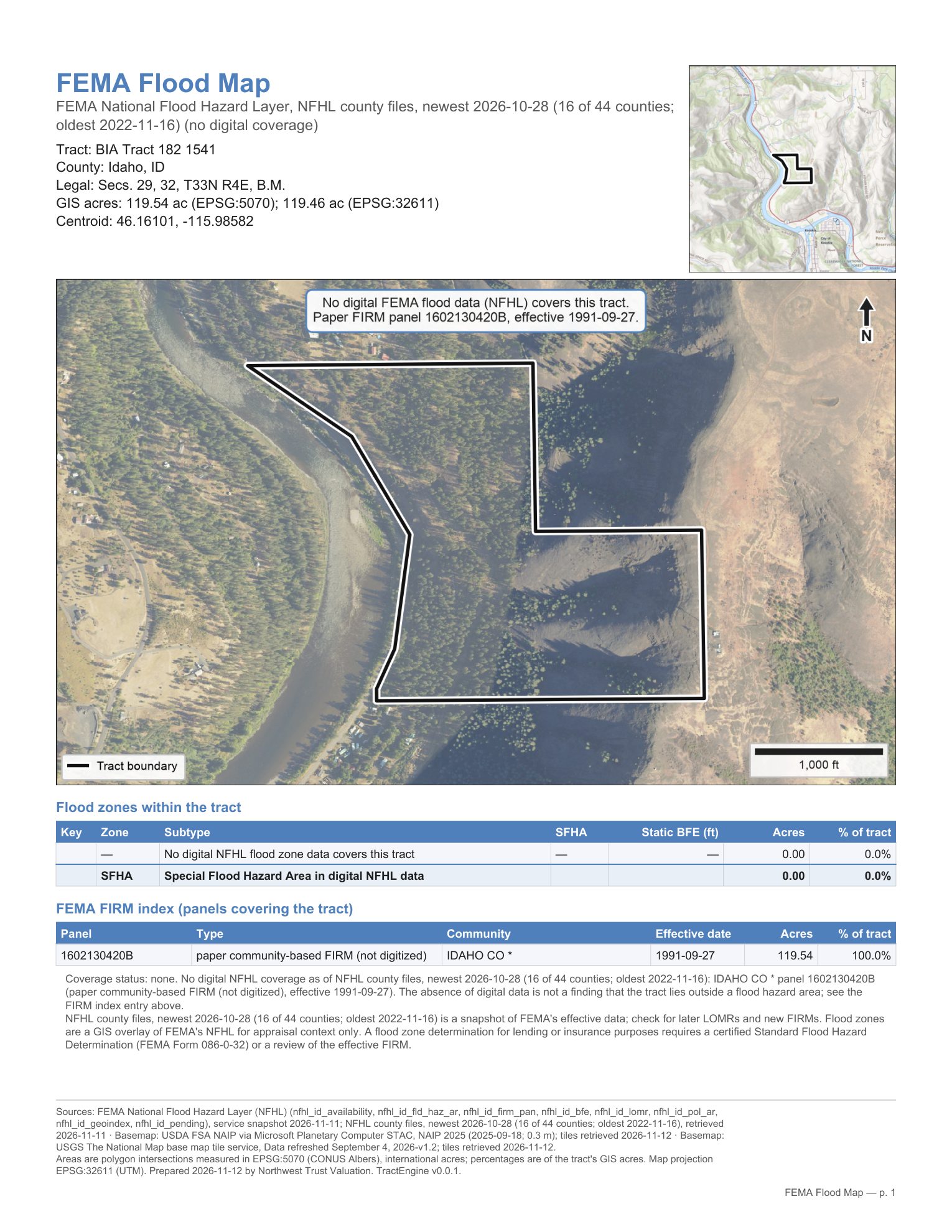
Give it a parcel number, an address, a legal description, a BIA tract number or a boundary file, and it returns the boundary with its acres, then measures the tract against the public soils, flood, wetland, crop and elevation data. The results come as tables for the report and as one-page map exhibits, each with its sources and dates in the footer.
How a job goes
-
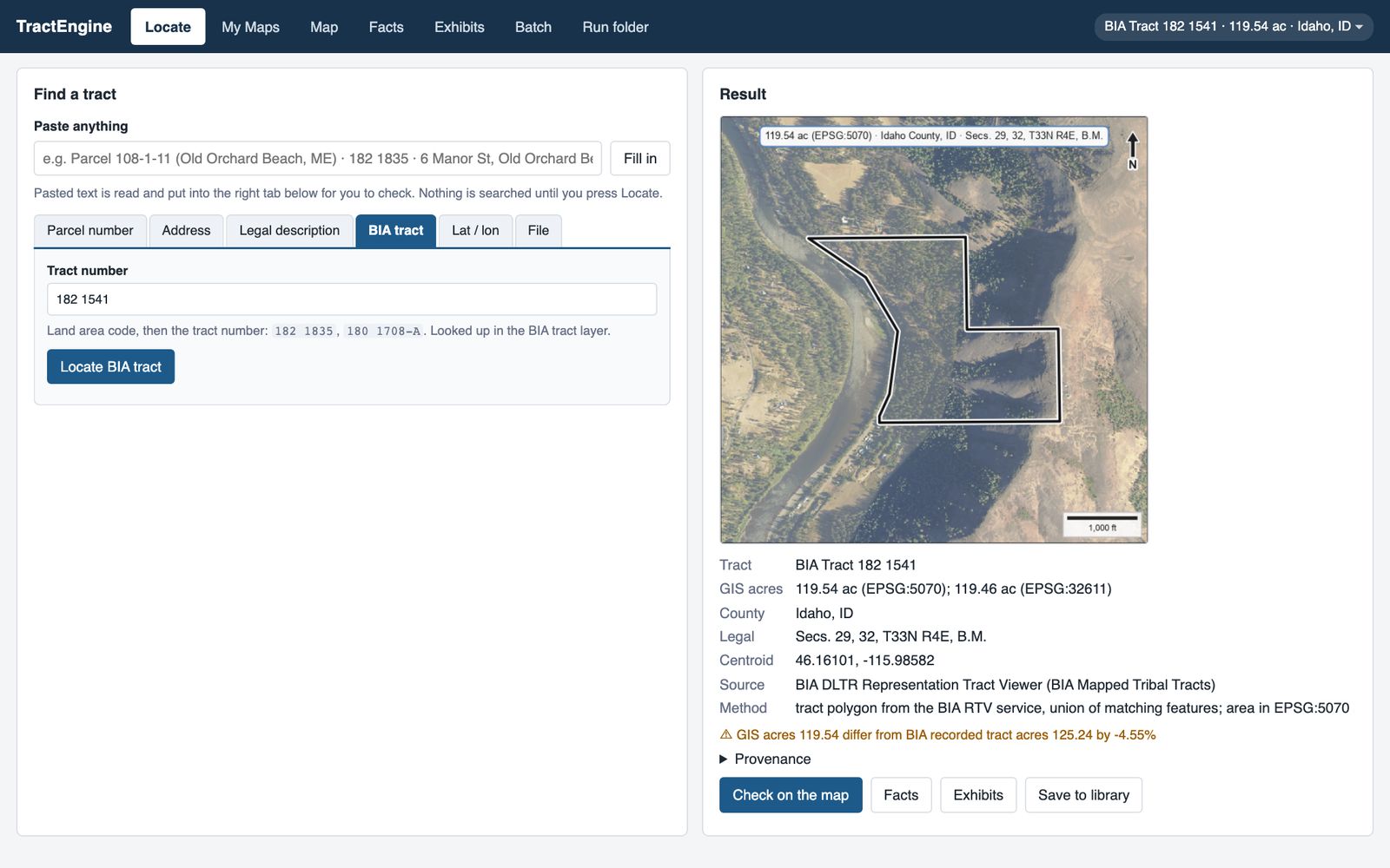
1 Find it
Type what the assignment gives you. Here it is the BIA tract number; the tract comes back outlined on imagery with its acres, county and legal description.
-
2 Check it
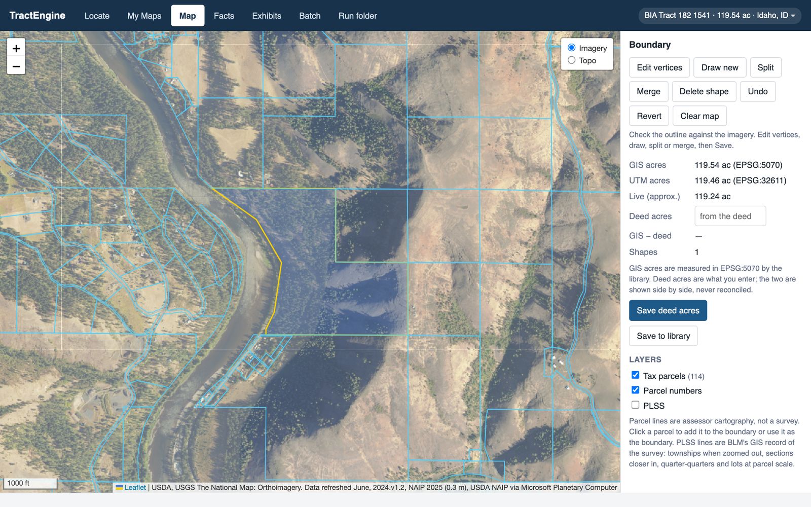
Look at the boundary on the imagery against the tax parcel lines. Move a corner or redraw it if it is wrong, and enter the deed acres to see the difference.
-
3 Report it
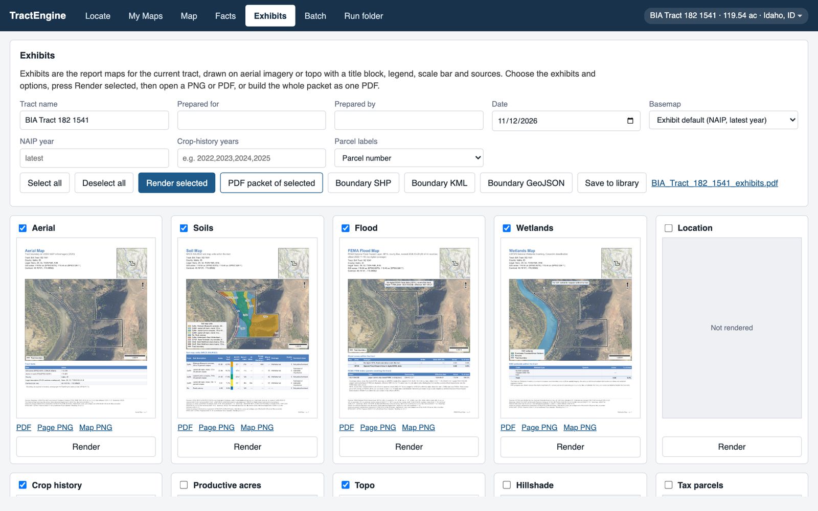
Render the exhibits and download them as one PDF packet. The facts behind them export to an Excel workbook, one sheet per table.
What appraisers care about
- The source on every number. Each figure carries its dataset, the vintage, the date it was retrieved and the method, ready for the workfile.
- Acres measured one way, shown beside the deed. GIS acres are computed in an equal-area projection and reported next to the deed acres you enter, with the difference in acres and percent.
- A soils narrative with nothing invented. The written soils discussion is built by fixed rules from the NRCS ratings. A rating that is missing is reported as not rated.
- Public data. USDA, FEMA, USFWS, USGS, BLM, BIA and county assessors. Each dataset is named with its date on the exhibit it feeds.
It is not a survey, not a wetland delineation and not a title search.
Where it works
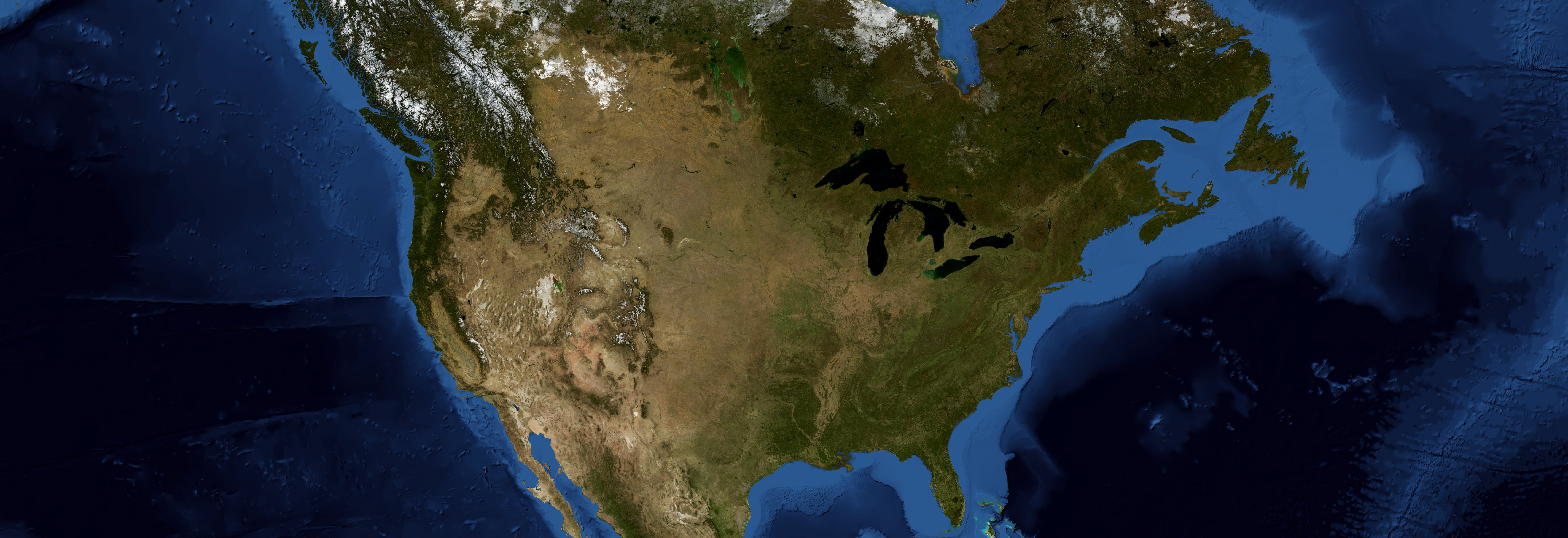
Idaho, Washington and Maine today. Oregon, Massachusetts, Vermont, New Hampshire and Rhode Island are next. More states are added one at a time; ask for yours.
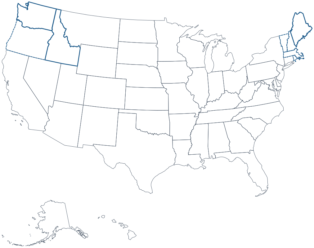
Covered Next